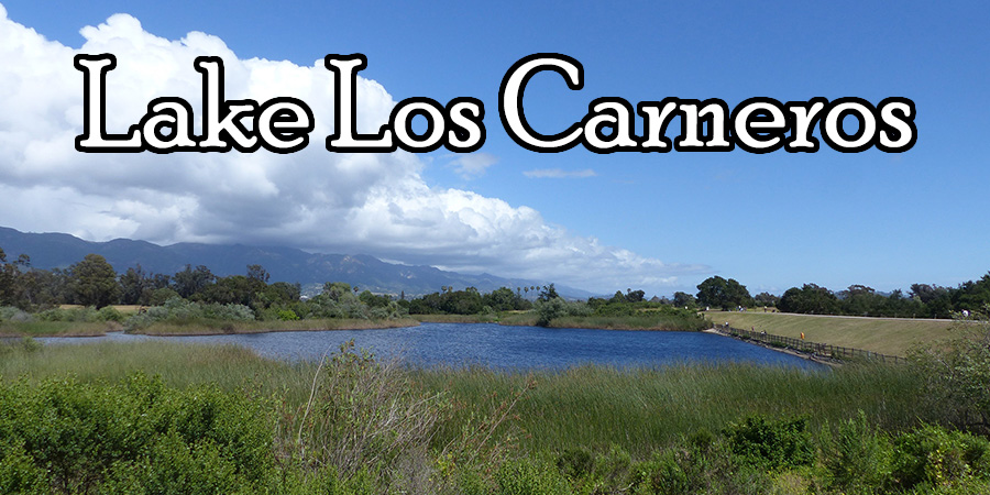
Apr 12, 2026
[Water Levels]
[The Dam] [Fishing]
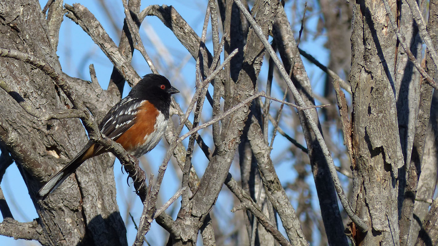
[Birding]
[Wildlife]
[Eutrophication]
[Photo Album]
[Map]
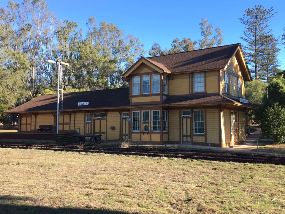
Originally a small natural wetland located in the heart of Goleta, California. What is now Lake Los Carneros was a small weed-choked pond that had little or no open water during the Summer and was filled with aquatic plants the rest of the year. In 1873 Sherman Stow built a 6 ft. tall earth-filled dam that doubled the storage capacity of the original natural wetland. In 1932 Sherman's son Edgar increased the height of the dam to 19 ft. and built the concrete portion of what is now known as the Lake Los Carneros Dam.
March 1993
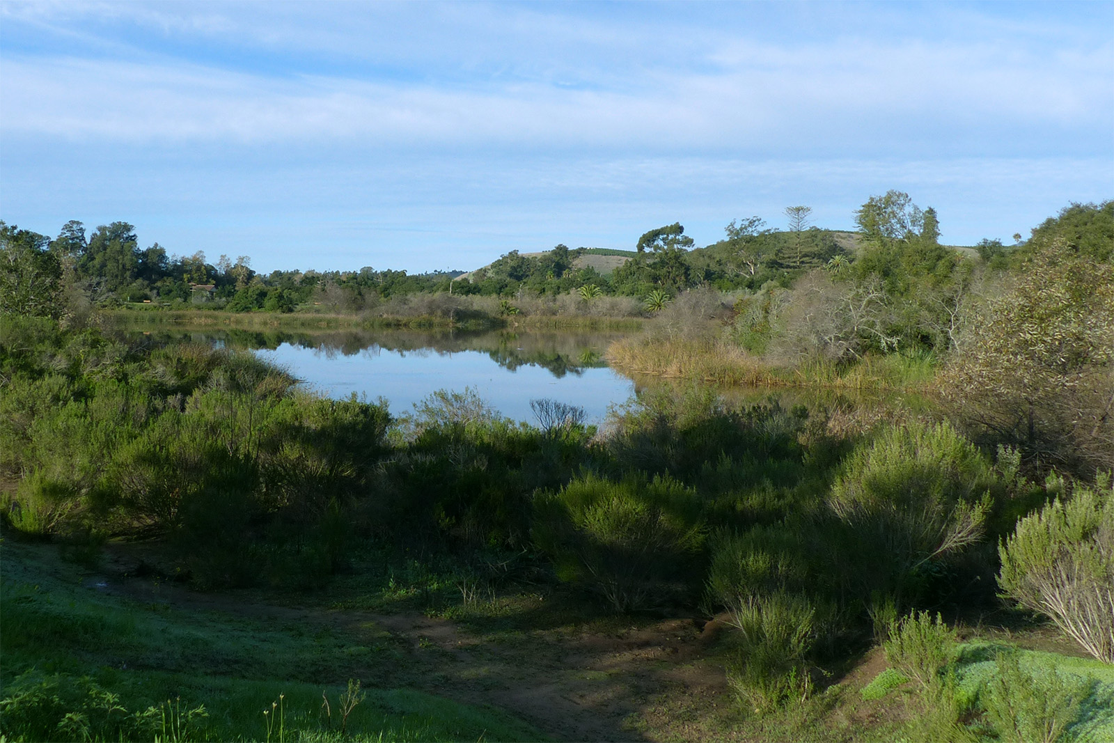
January 2026
Human use of Lake Los Carneros can be traced back at least 9,000 years, when Native American peoples occupied coastal southern California, including the Goleta Valley. At this time, the lake area was most likely a stream and a marsh with some seasonal open water. Archeological research indicates that the majority of prehistoric activity tended to concentrate near the water's edge, underscoring the importance of water resources to aboriginal inhabitants. Water fowl, land mammals, fish and bulrush would have been among the principle lake and lake shore resources utilized for food and other purposes.
Oct 20, 2025
Nov 24, 2024
In 1842, Nicolas A. Den was granted "Los Dos Pueblos Rancho", a property of nearly 16,000 acres which included the lands of the present day Lake Los Carneros Park. Nine years later Den sold 2,000 acres of his ranch to his son-in-law, Daniel Hill. This land included one of the Goleta Valley's most distinctive natural features, a duck pond ("patera" in Spanish) on the northern edge of Goleta Slough. This pond would later become the present day Lake Los Carneros.
Jul 3, 2016
Nov 23, 2025
Daniel Hill died in 1865, leaving his ranch to his widow, Rafaela. When she remarried in 1871, about half of the tract was sold to William Whitney Stow, the chief counsel for the southern Pacific Railroad in San Francisco. Stow purchased the 1,043 acres for his son, Sherman Patterson Stow. The family ranch house was constructed in 1872 on a rise on the west side of the pond, "la patera", that would soon become known as "Stow Pond" or "Stow Lake".

Dec 5, 2015
Jan 4, 2025
Lemons!
In 1873 agricultural development of Stow land was begun with the creation of a 100-acre almond and walnut orchard. Tobacco was also planted at Stow Ranch, but this experiment proved to be a failure. The crop that would eventually make Stow Ranch famous was lemons. In 1874 an orchard of 3,000 lemon trees was planted on the ranch. This made Stow Ranch one of the first commercial lemon groves in California.
Oct 14, 2025

May 25, 2010


In addition to establishing the Stow Ranch as a major lemon producer, in 1873 Sherman P. Stow was also responsible for constructing the original six-foot high earth-filled dam that doubled the storage capacity of the original natural wetland.
Jun 23, 2015
May 11, 2005
When Sherman P. Stow died in 1907, the ranch came under the supervision of his son, Sherman Hollister Stow. He died in 1915, and was succeeded as ranch manager by his younger brother, Edgar Whitney Stow.
Apr 2, 2026

Sep 10, 2016
Edgar Stow operated the ranch for over three decades, and during that time he introduced many noteworthy changes. Early in his career as manager, Edgar changed the name of the ranch to "La Patera Rancho". In 1932 he increased height of the dam to 19 ft. Where the spill level is today.
Jan 3, 2026
Mar 20, 2020
In 1947 major improvements were made to the ranch's water control system, including raising the elevation of the dam again. This last series of improvements increased the surface area of the lake at capacity to 51 acres, the impound capacity to 500 acre-feet, and raised the spill elevation to ~58 feet above sea level. Only a couple feet lower than the current crest elevation of the dam. One effect of the dam improvements, completed in 1948, was the creation of an island near the southeast shore when the lake was nearly full.
Mar 29, 2024

Dec 12, 2019
In the 60s the spill elevation was lowered to ~48 feet above sea level as a safety precaution in the anticipation of residential development of the surrounding land. Lowering the spill elevation created the current ~12 ft. freeboard section above the concrete portion of the dam.

Dec 1, 2016
Aug 17, 2019
Conversion of Rancho La Patera from agriculture to residential housing began in 1960. In 1963 additional lands were converted to planned residential and highway commercial use. At this time, approximately 13 acres of land bordering La Patera Lane was donated to become Stow Grove County Park. Additional ranch lands, including the lake and surrounding area, were purchased in 1963 for golf course and residential development.
Dec 16, 2016
Nov 21, 2025
The golf course and planned residential development on the remaining parcel never took place and the lake and 20 acres surrounding it were donated to the County as recreational open space.
Nov 3, 2013
Mar 15, 2018
The lake and surrounding land remained undeveloped until 1974, when approximately 153 acres, including Stow House and grounds, was acquired by the County for use as a regional park.
Apr 21, 1992
Apr 27, 2018
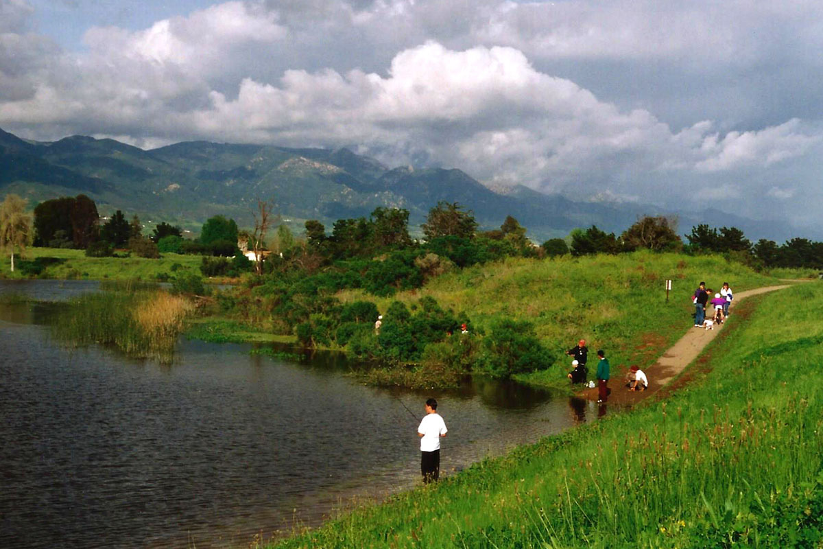
The Master Plan was adopted in 1987 with the intention that the lake and surrounding lands were to be preserved as wildlife habitat and recreational open space for activities such as "fishing, hiking, birdwatching, educational activities, and social events" (1999 Updated Management Plan).
Explore - Discover - Connect
Aug 22, 2015
Nov 5, 2024
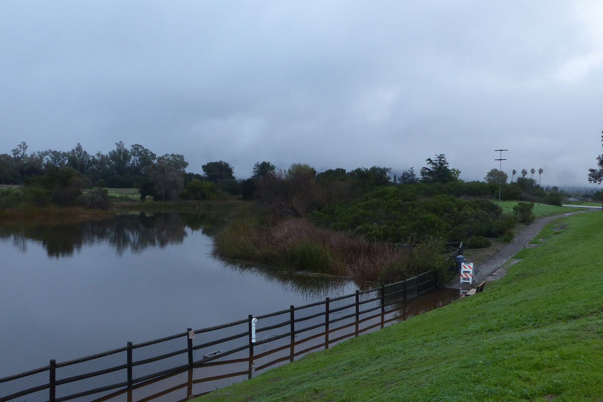
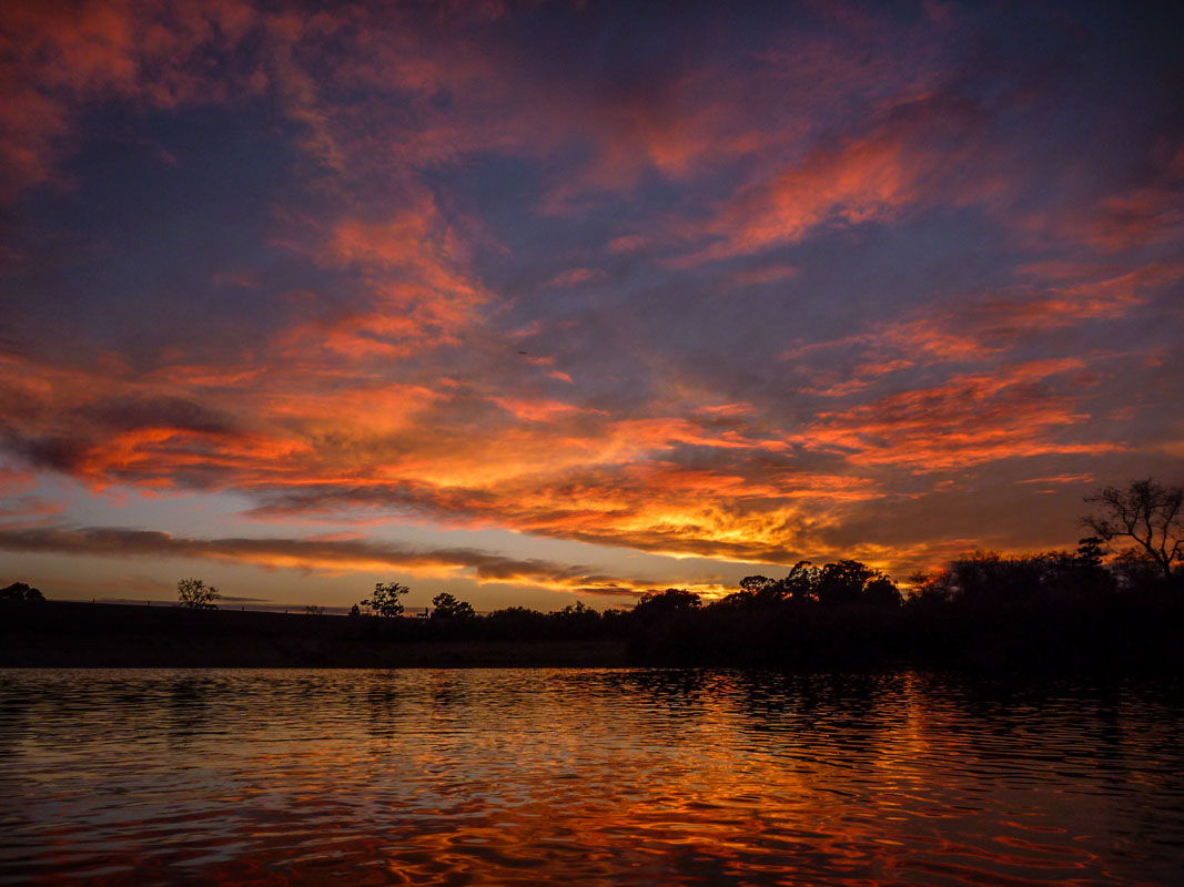
In the mid-2010's I had the opportunity to see things I hadn't seen in over 20 years. Consecutive years of low rain caused the water level to drop lower than it had since the "March Miracle" rains in 1991. From 1991 through 2014 the water level did not drop below 10 feet below spill level.
Recent Water Levels (feet below spill level)
Jun 11, 2026: 4.40
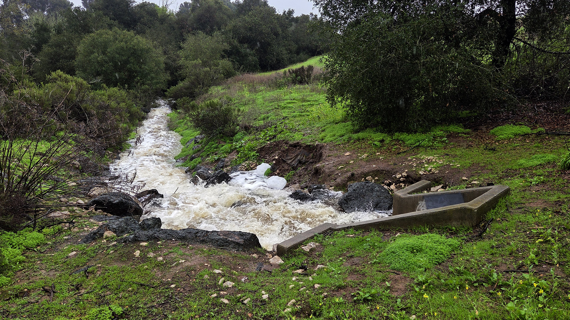
Apr 11, 2026: 2.73 (water level periodically artificially lowered since January 3rd storm)
Jan 3, 2026: Spilling (~4 inches above spill level during peak of storm)
Nov 22, 2025: 3.11
Nov 12, 2025: 7.60
Mar 13, 2025: 3.48
Jan 2025: 5.40
Apr 2024: Full/Spilled
Tap here for historical water level and rainfall information
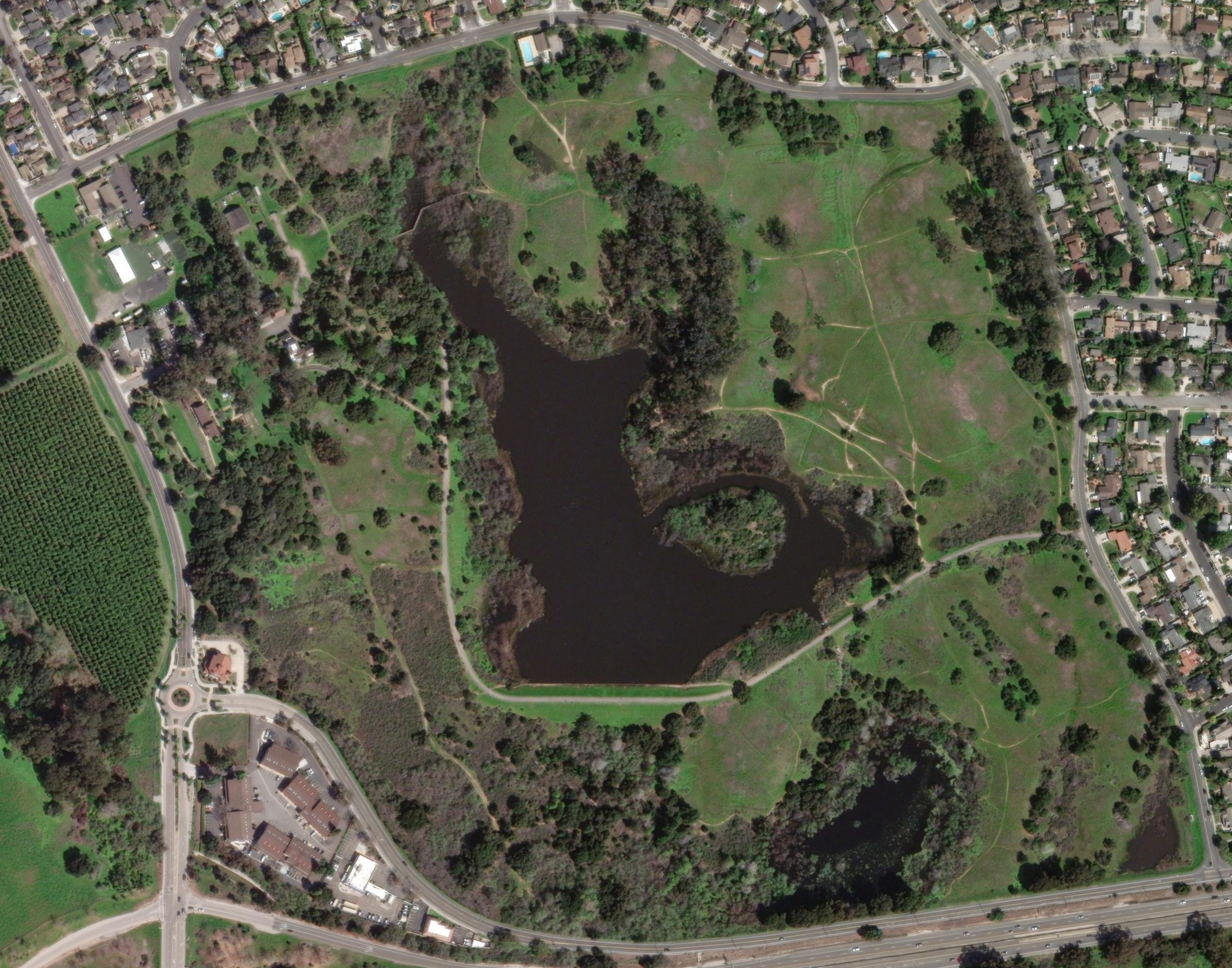
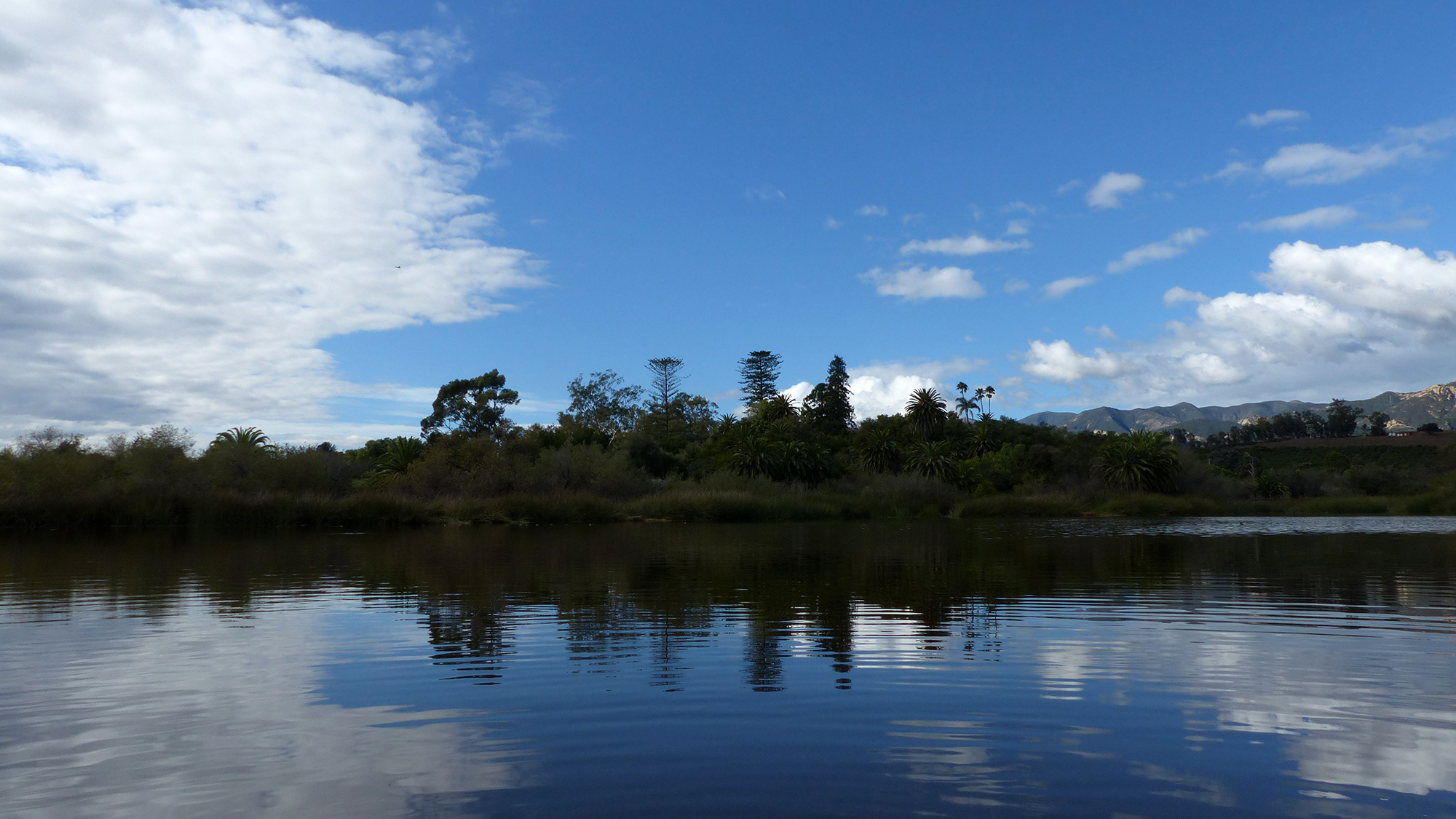
March 2024: Satellite image
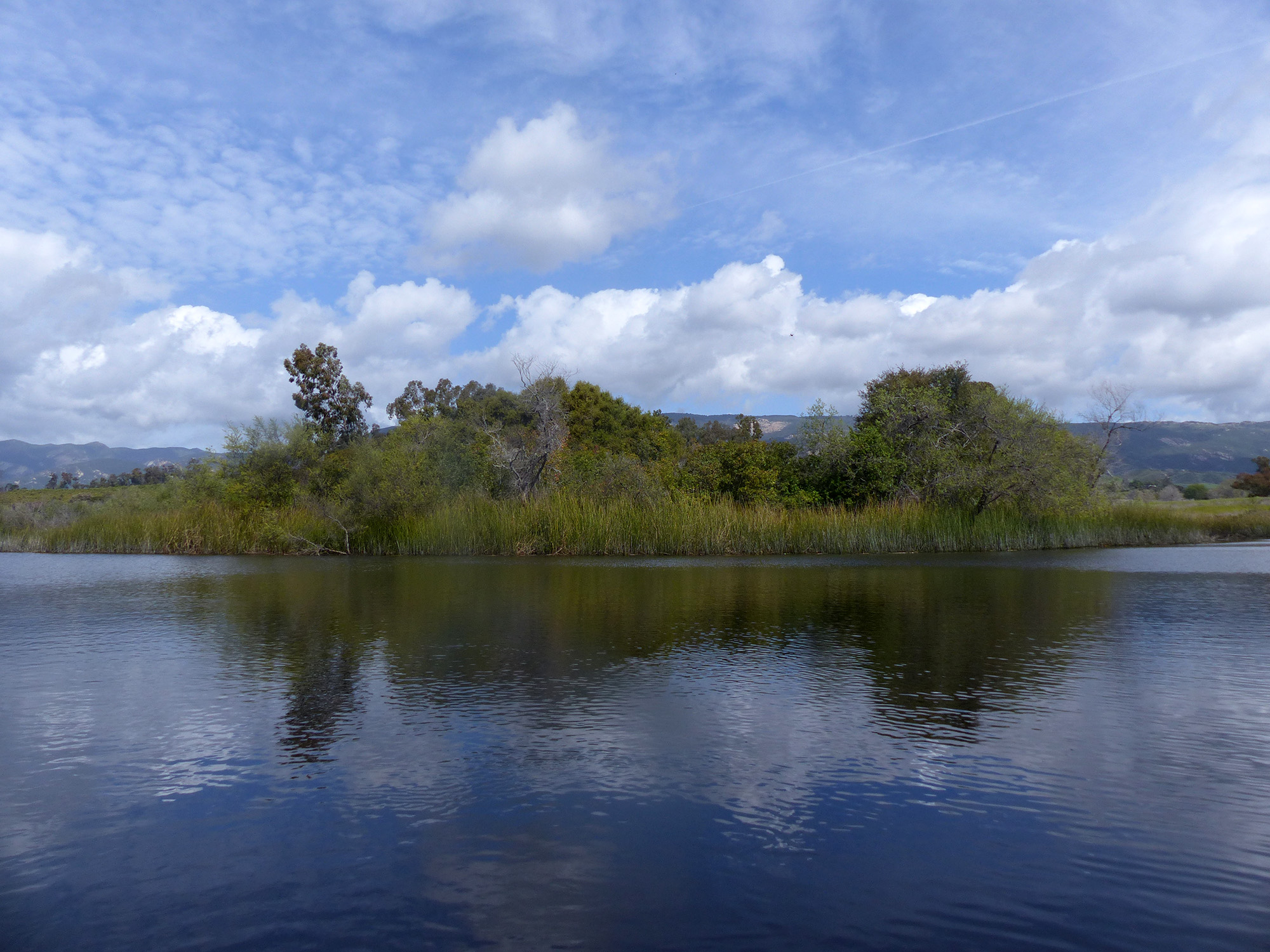
of Lake Los Carneros Park when the lake and overflow pond are full
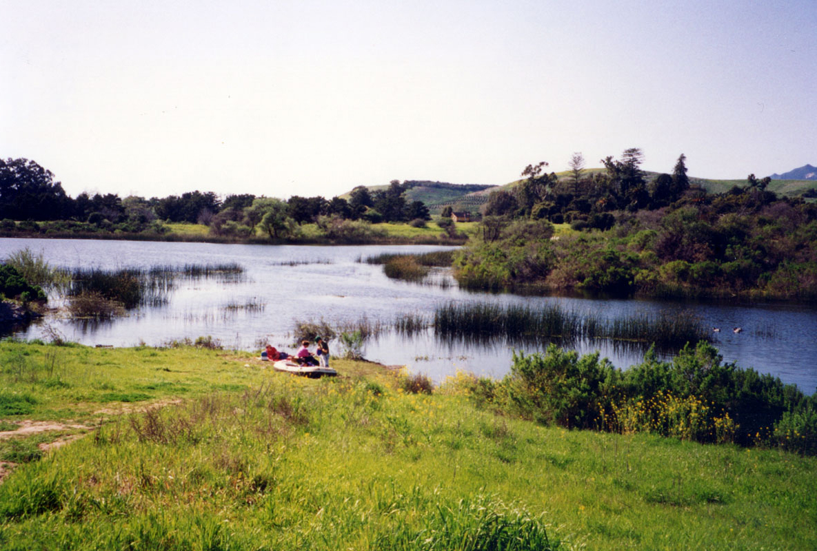
March 1993: Full Lake
Jan 1, 2026: Full Lake
Things such as tree stumps along the what would have been the shoreline of the original pond. "The Ledge" that separates the entire South East section from the main lake. The "drain" surfaces when the water level is ~12 ft. below spill level. And the line of tree stumps in Spooky Cove that used to be the old road. The photos below are taken from the same location.
August 2024: The Old Road tree stumps under ~10+ ft. of water.
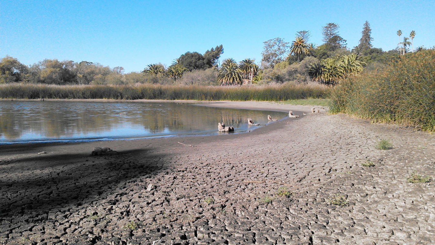
September 2014: The Old Road tree stumps visible as water level reaches ~11.5 ft. below spill level.
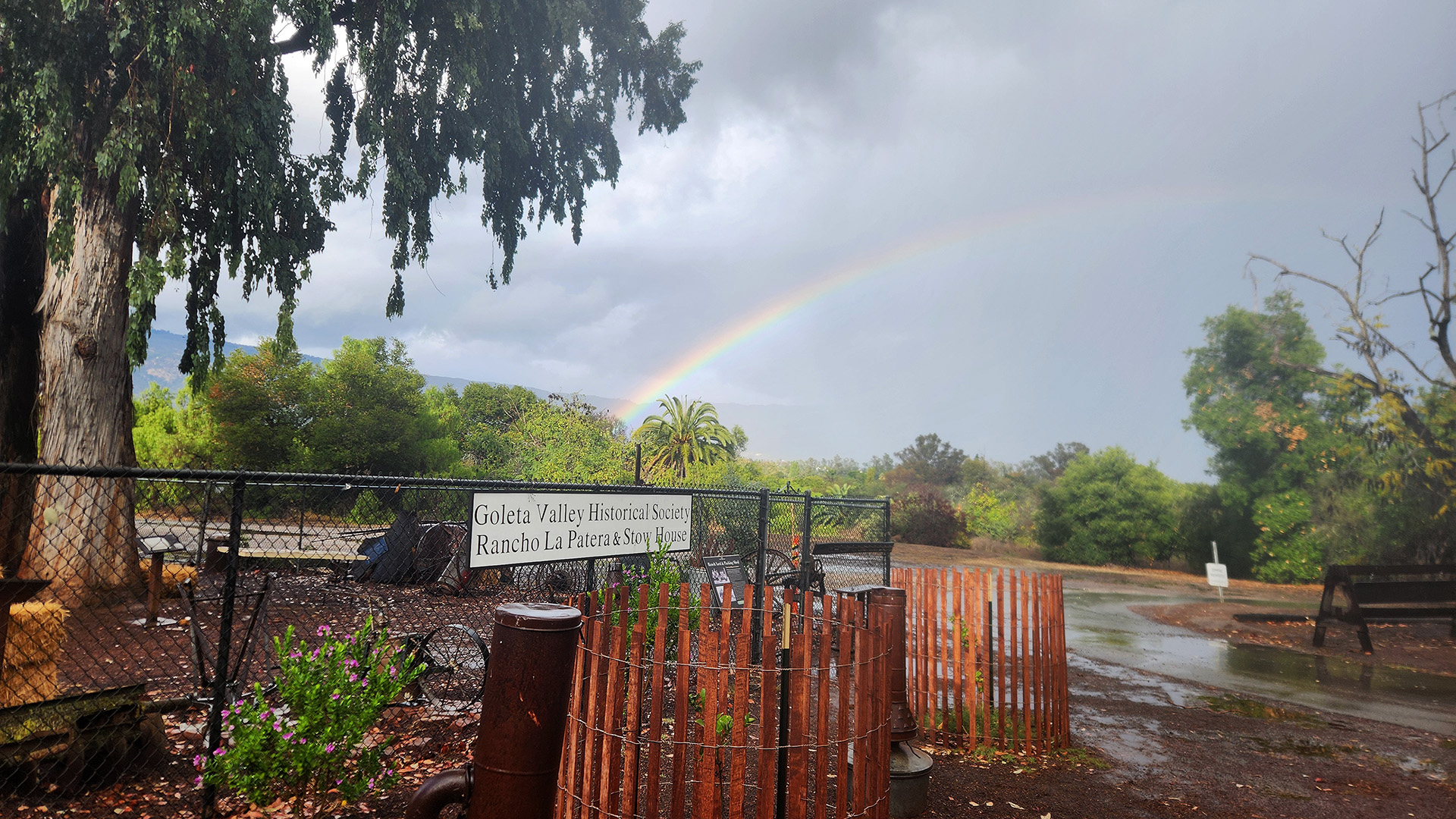
Tap here to view a YouTube video of the aerial photo from 1929 below with overlays of four satellite images of the lake at approximately 3, 9, 11, and 14 ft. below spill level. Showing that the line of tree stumps in Spooky Cove is where the old road used to be. When the lake is full they are in about 11 ft. of water. A special thanks to the Goleta Valley Historical Society for the photo.
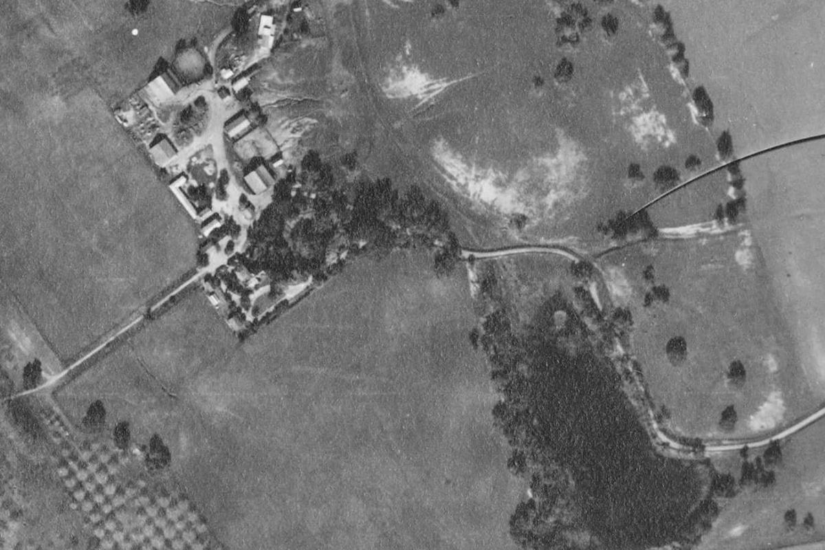
1929
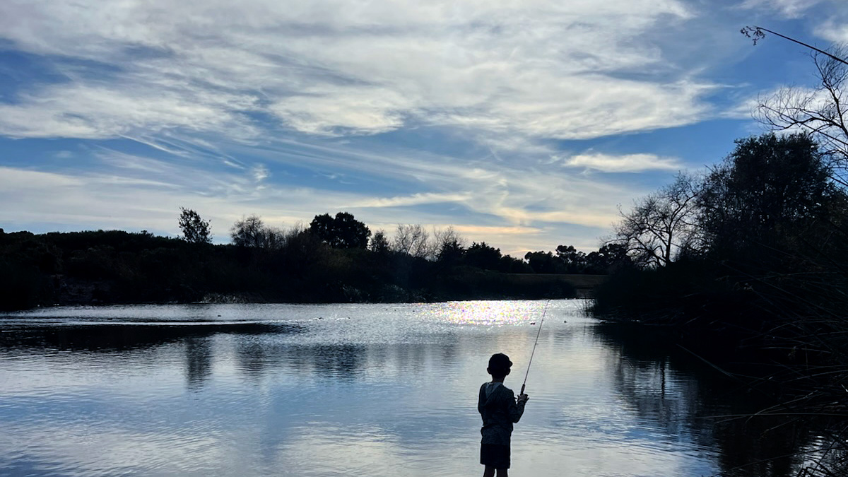
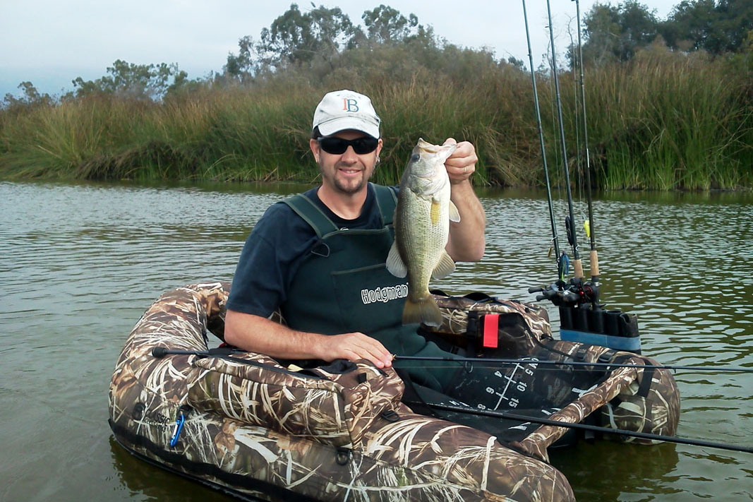
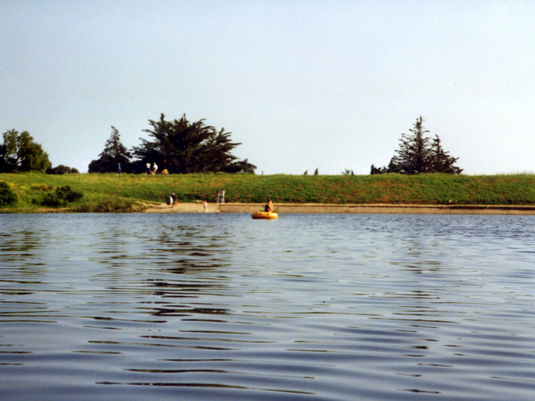
Welcome to my Lake Los Carneros website. I started bass fishing and exploring the lake on September 25, 1983. I started this website 30 years later.
Sep 3, 2013
In the 80's it seemed like most of the local people I would talk to either didn't know about the lake or thought the lake was the little overflow pond near Calle Real that only fills when the lake overflows. Others that did know about the lake thought of it as a "polluted mud hole" because of eutrophication and low rainfall during the 80's. I found it to be an escape to the outdoors within walking distance from my home.
Jun 23, 1997
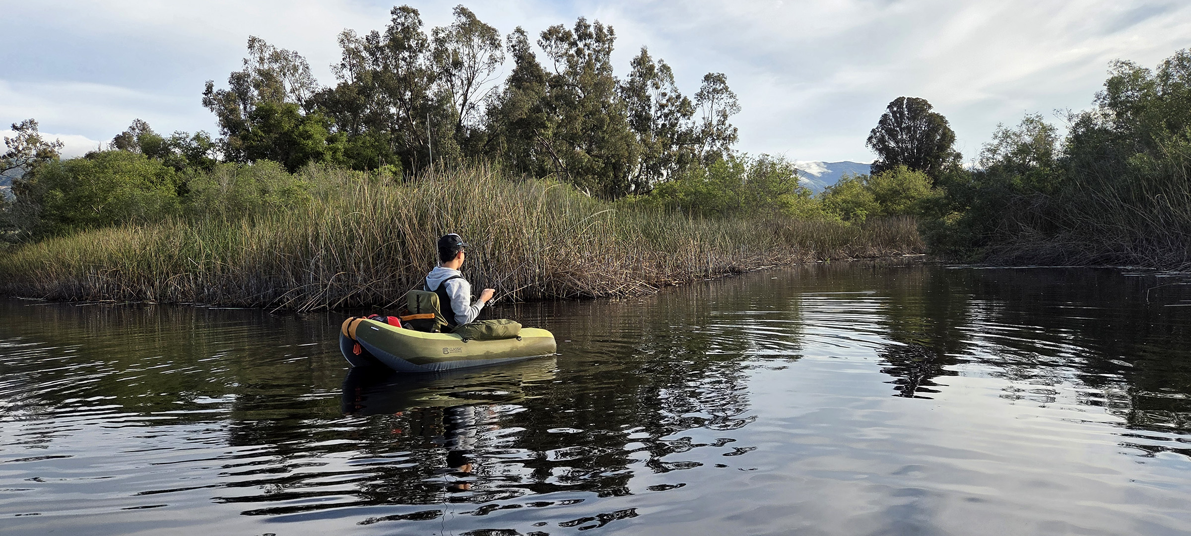
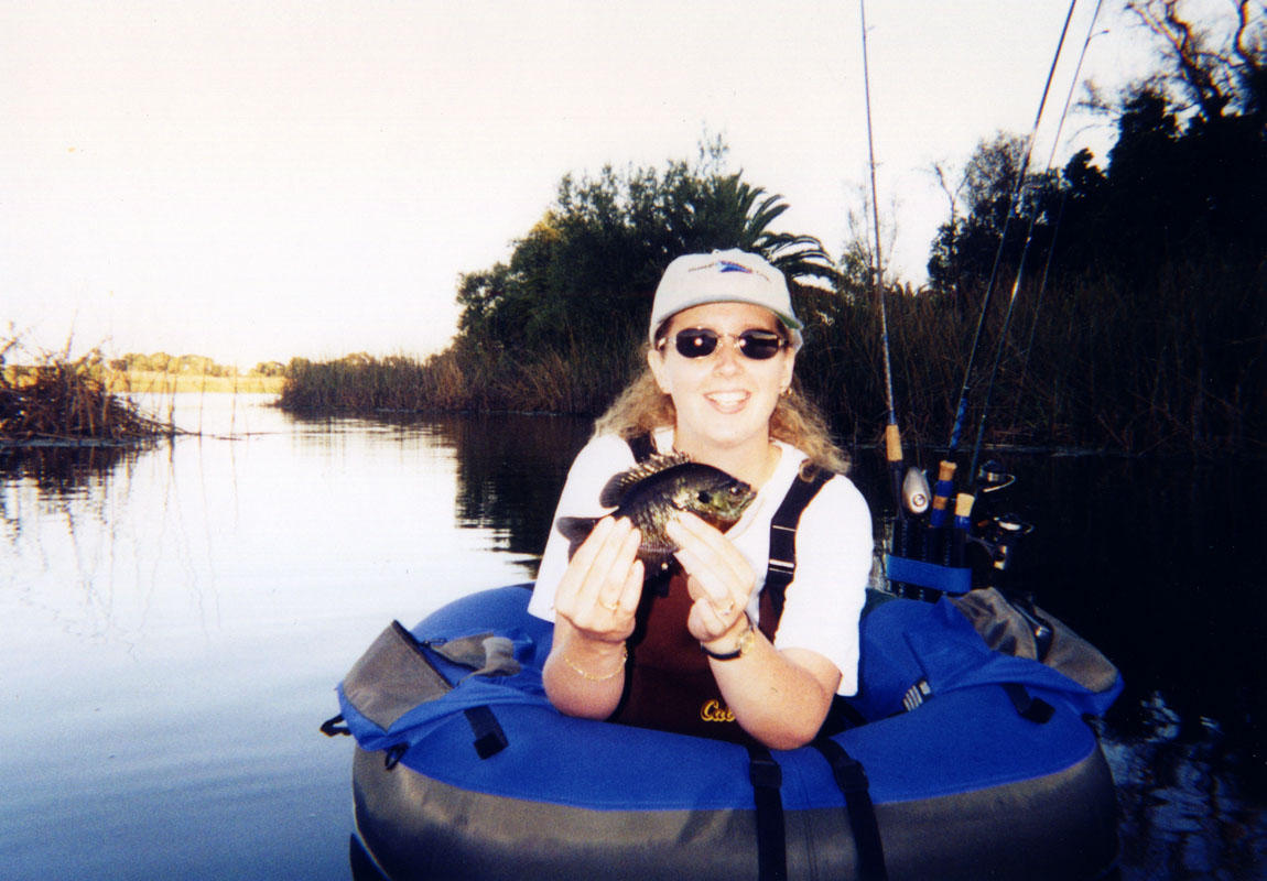
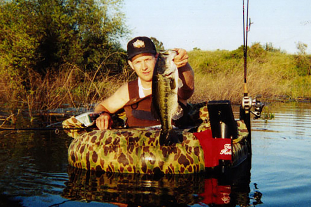
There were a few others that saw it the way I did. Perhaps those left over from the 70's when the lake was "healthier" due to better rainfall than in the 80's. There were some who fished the lake from the typical, usually yellow, inflatable rafts and the occasional canoe. But every so often I would see someone fishing from some kind of little one man raft. In the fall of 1984 I stumbled on an article in Field and Stream magazine about "Belly Boats".
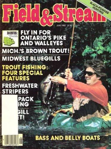
1984
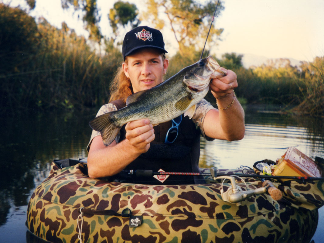
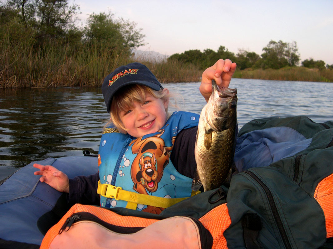
After reading the article I knew this would be the best way to bass fish at Lake Los Carneros. I started saving my money and in the summer of 1985 I bought my first float tube.
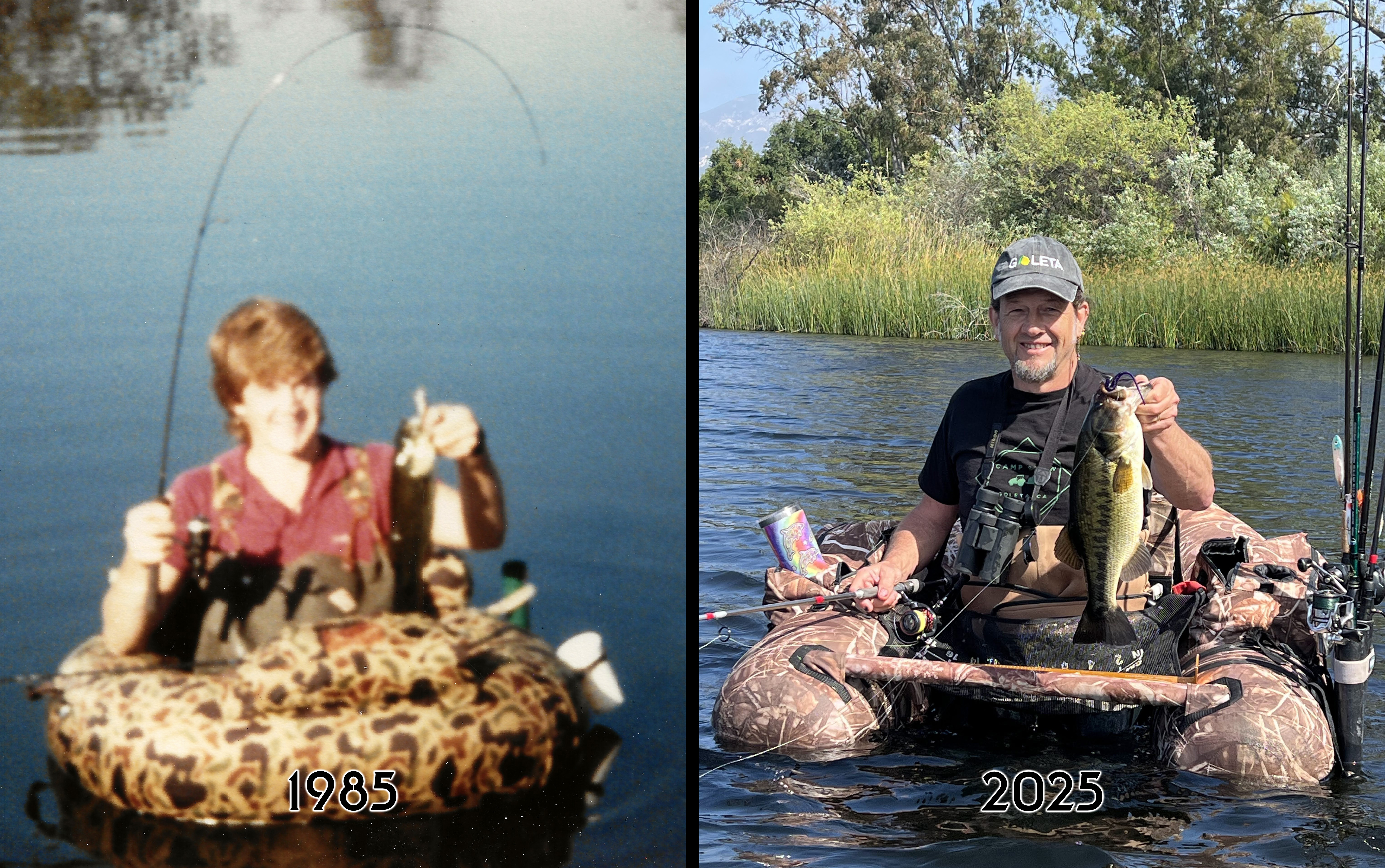
Sep 1, 1985 & Apr 13, 2025
On several occasions over the years there have been plans or ideas to develop the property but except for a few benches, and a fence along the dam it has pretty much stayed the same since my first visit.
Jul 28, 2015

Apr 30, 2016
Today the "polluted mud hole" image is gone even during dry periods. There are a wide variety of local residents and visitors who enjoy the property.
Oct 31, 2020
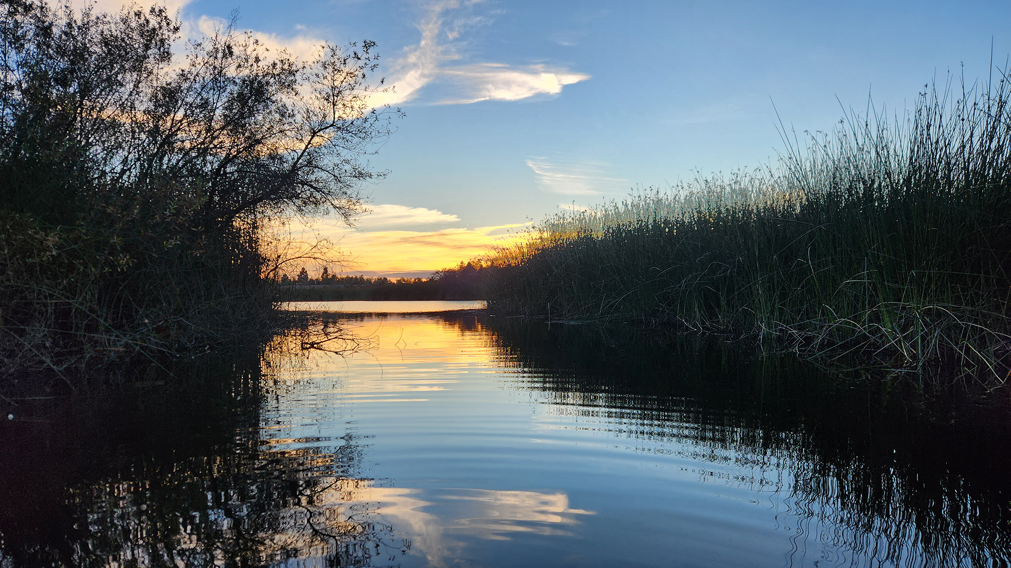
Apr 12, 2026
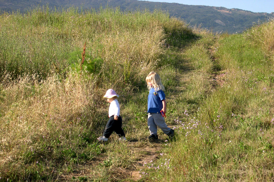
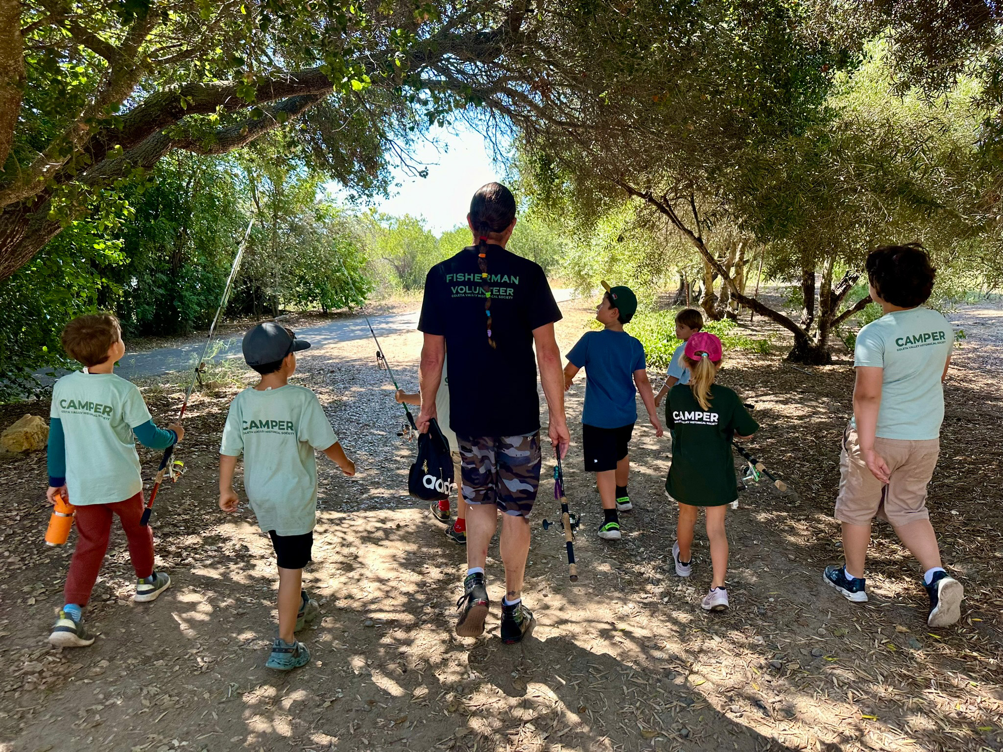
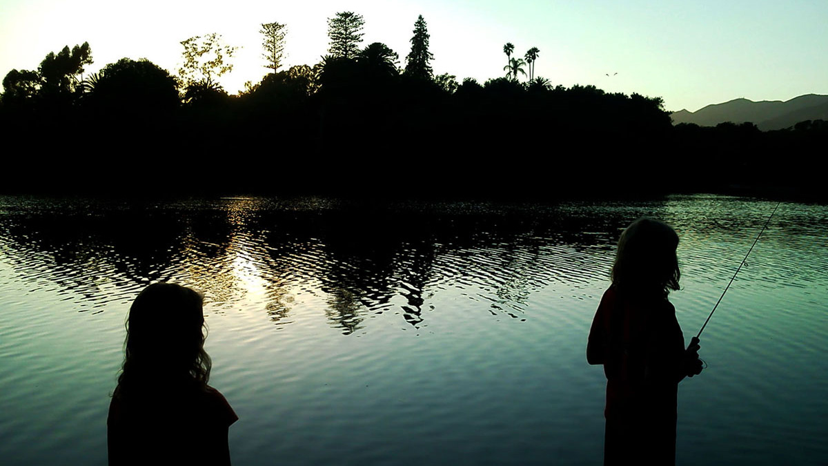
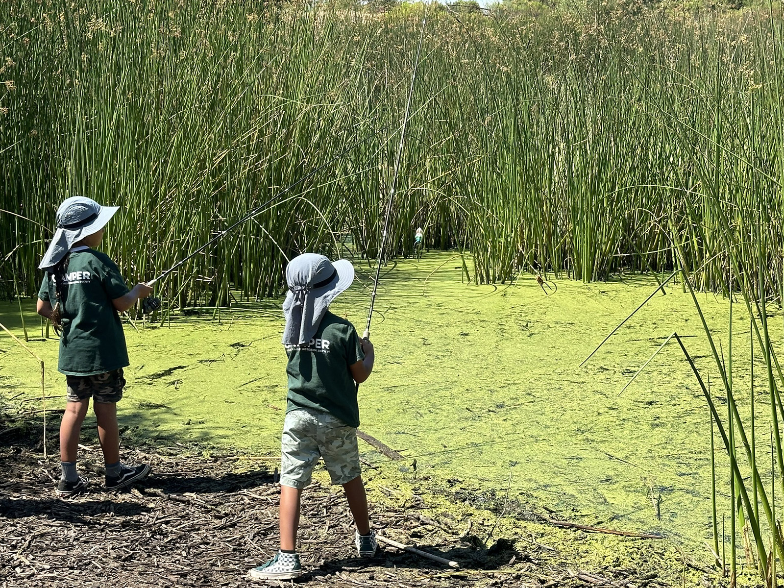
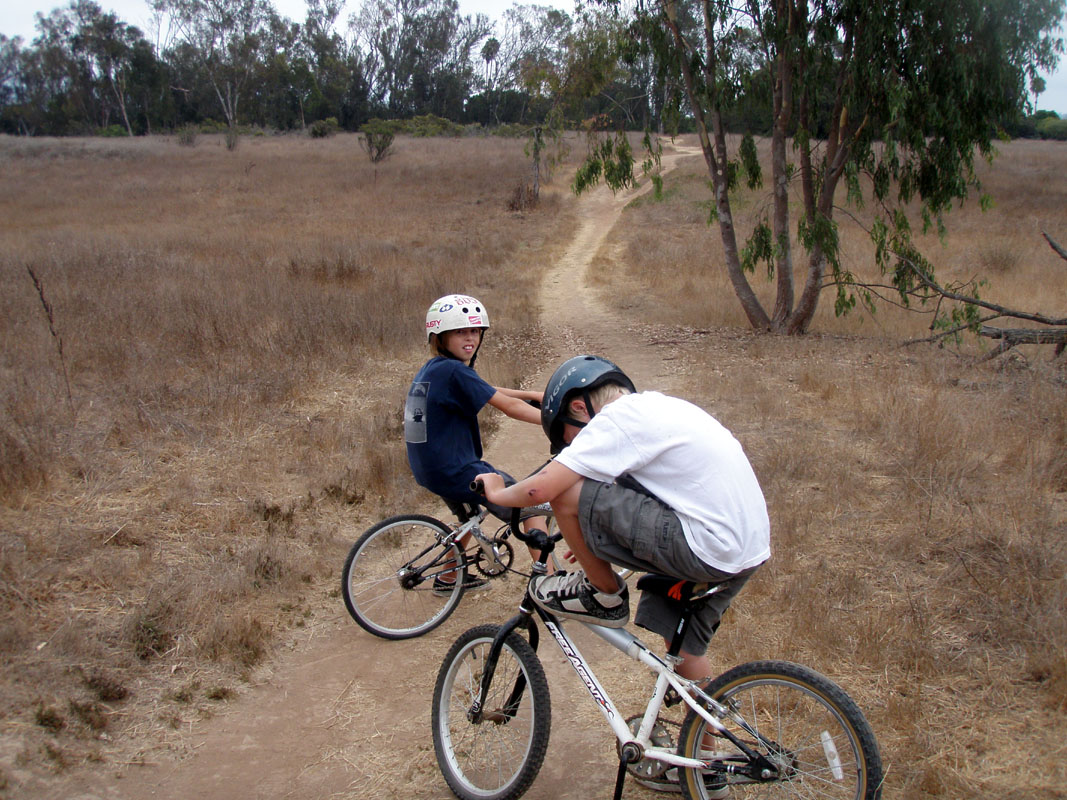
Lake Los Carneros is the perfect place for kids to experience the outdoors from a hands on perspective. A place to explore, a place to get wet, dirty, muddy. Find bugs, turtles, lizards, snakes. A place to connect with nature right in the middle of their own home town.
Jul 22, 2024
Sep 20, 2009
Early memories:
One of my fondest early memories of Lake Los Carneros was on April 17, 1984. It was a warm and sunny Spring day. Like most days I couldn't wait to get home from school so I could walk over to the lake. My grandparents were in town visiting so my grandfather walked to the lake with me. I can still clearly see him sitting on the edge of the dam watching me. I was standing on the "drain" near the base of the dam that is about 12 ft. below the spill level of the lake. Suddenly, while reeling in my lure to make another cast it stops dead. After a good fight I catch the largest bass I had caught since I started bass fishing a few years earlier.

Apr 17, 1984
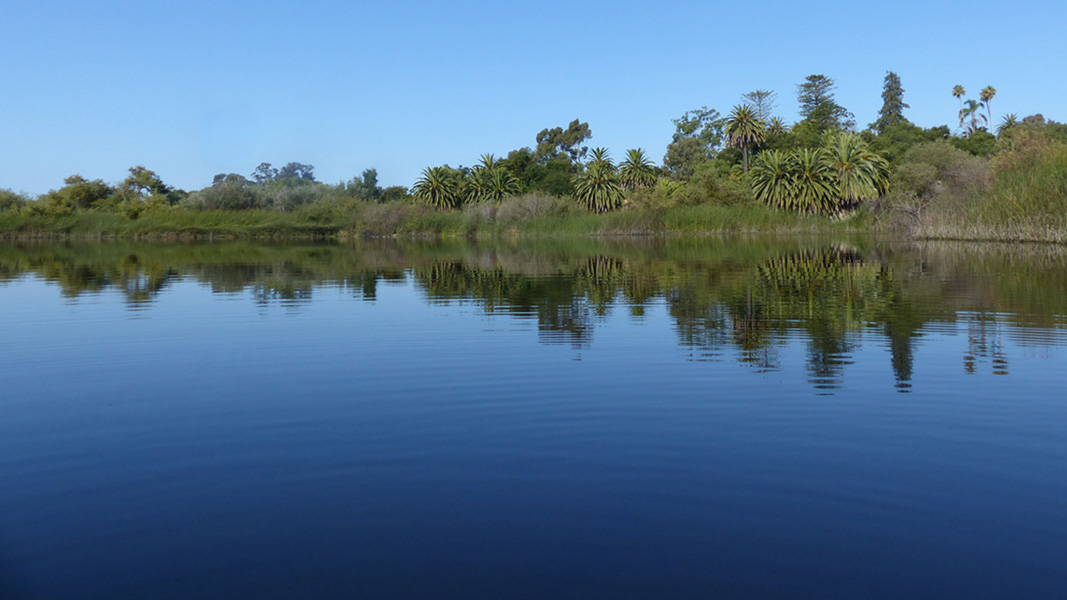
Seasonal changes are usually pretty mild in Goleta. But even these mild changes bring different things to see at the lake. Most of the year the foliage surrounding the lake is mostly a dry brown. But after a little rain the land becomes draped in a beautiful green blanket. Spring is the time to watch swallows as they dance in the air while collecting water for their nests. Like tiny delta-wing fighter jets in a dog fight, they expertly dart in, out and around each other with incredible precision.
Jan 4, 2020
Aug 20, 2022
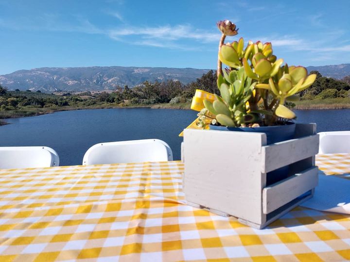
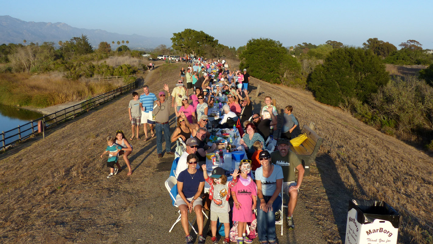
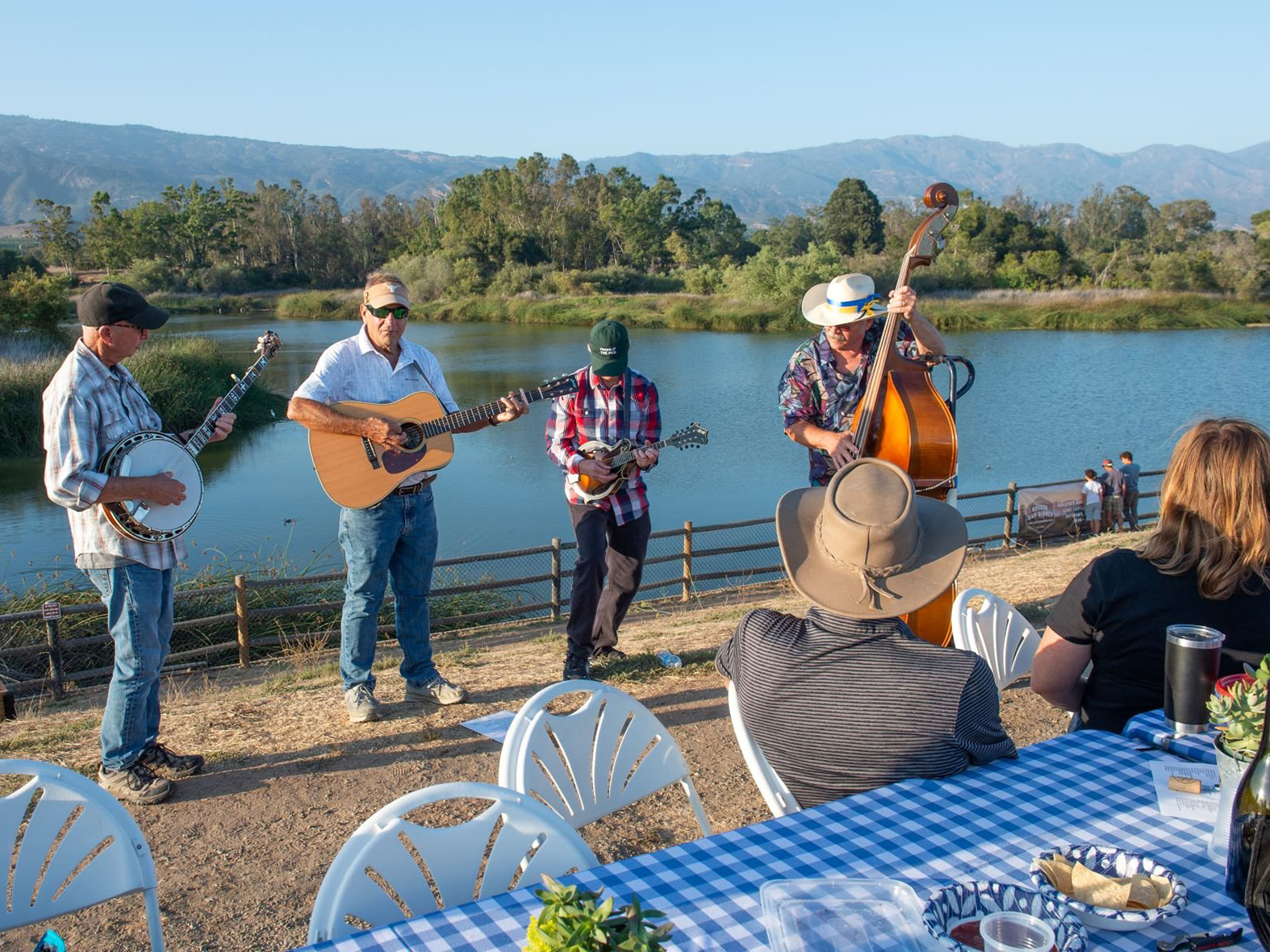
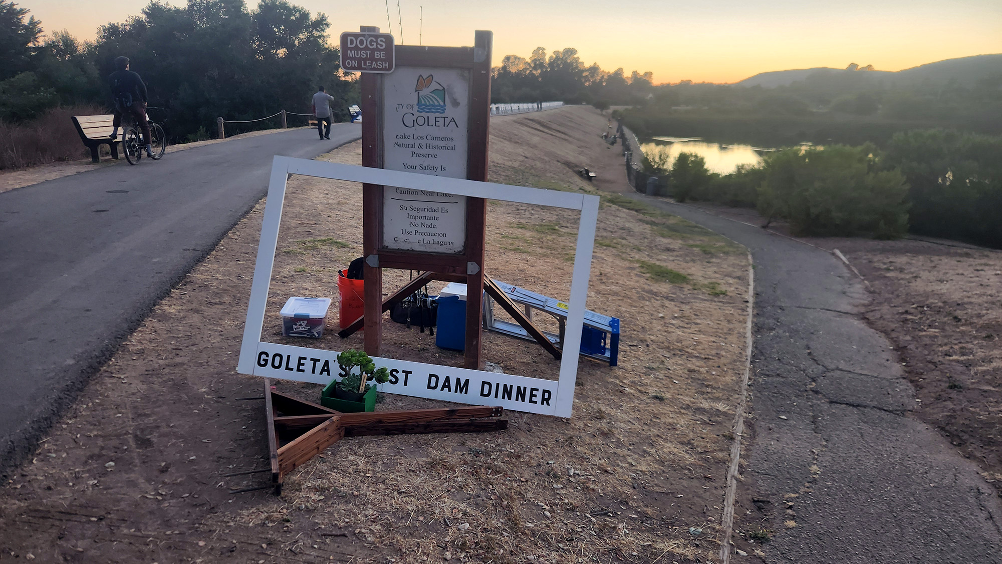
(photo courtesy of Goleta's Dam Dinner)
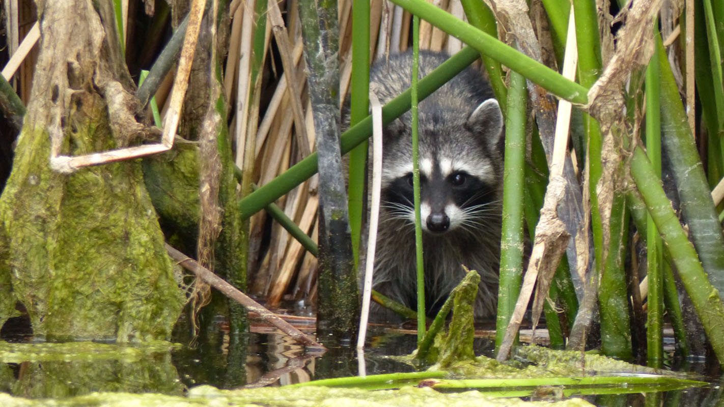
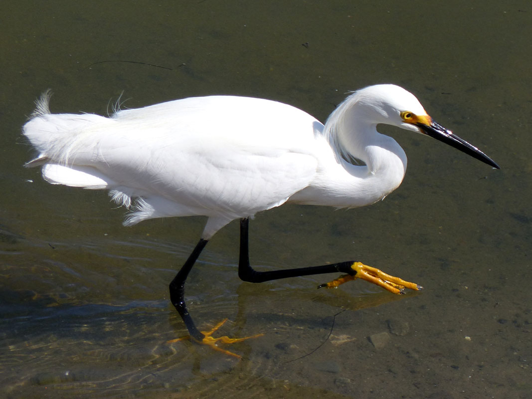
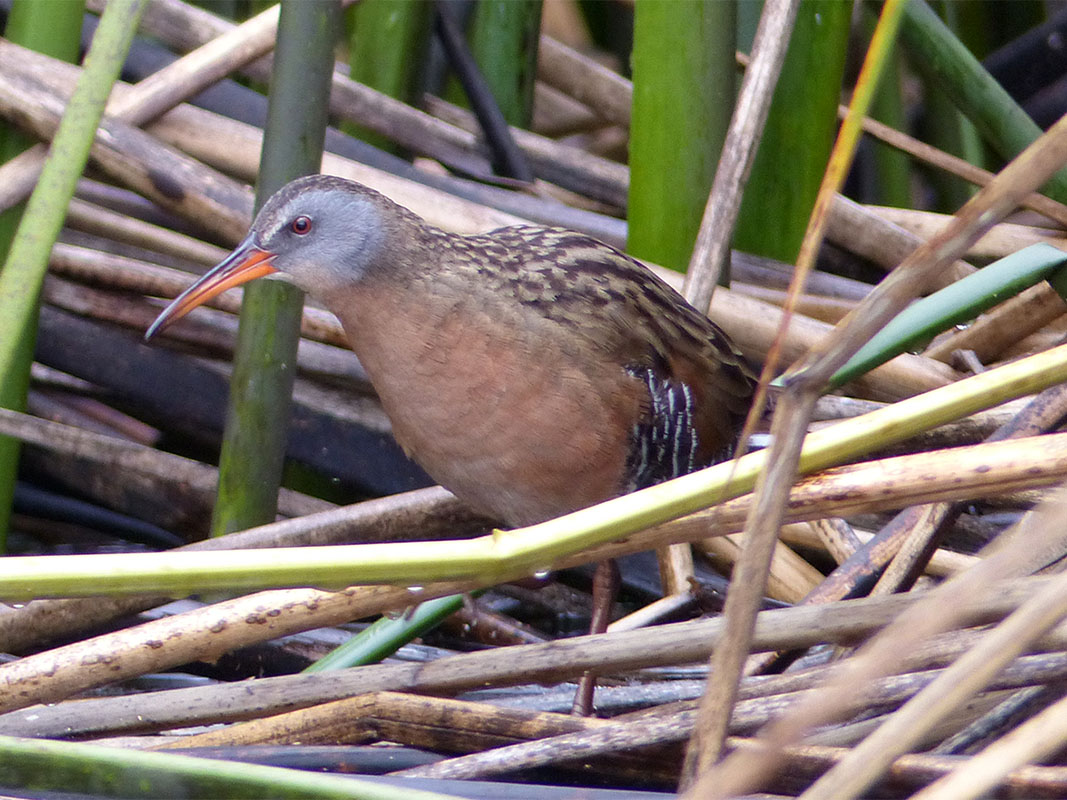
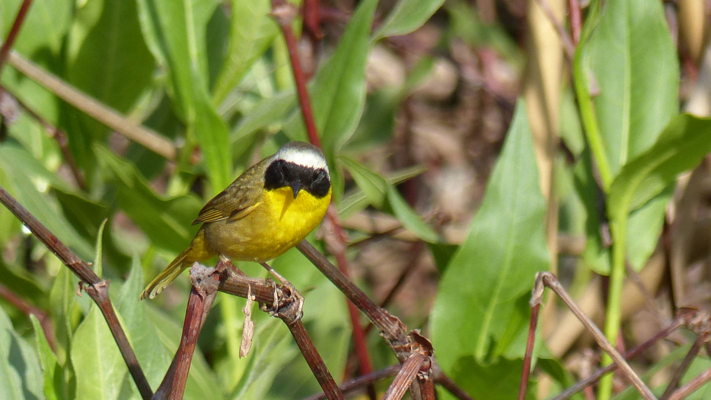
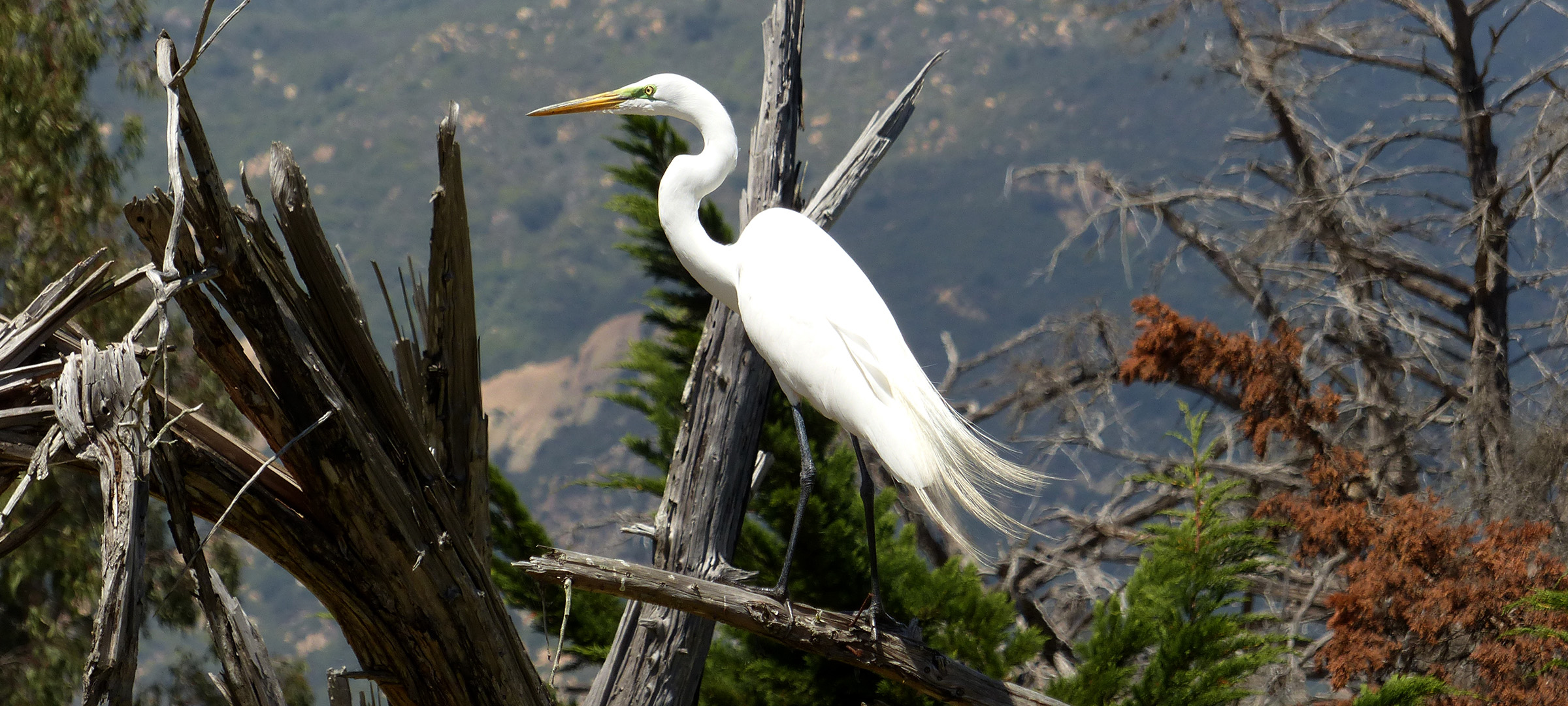
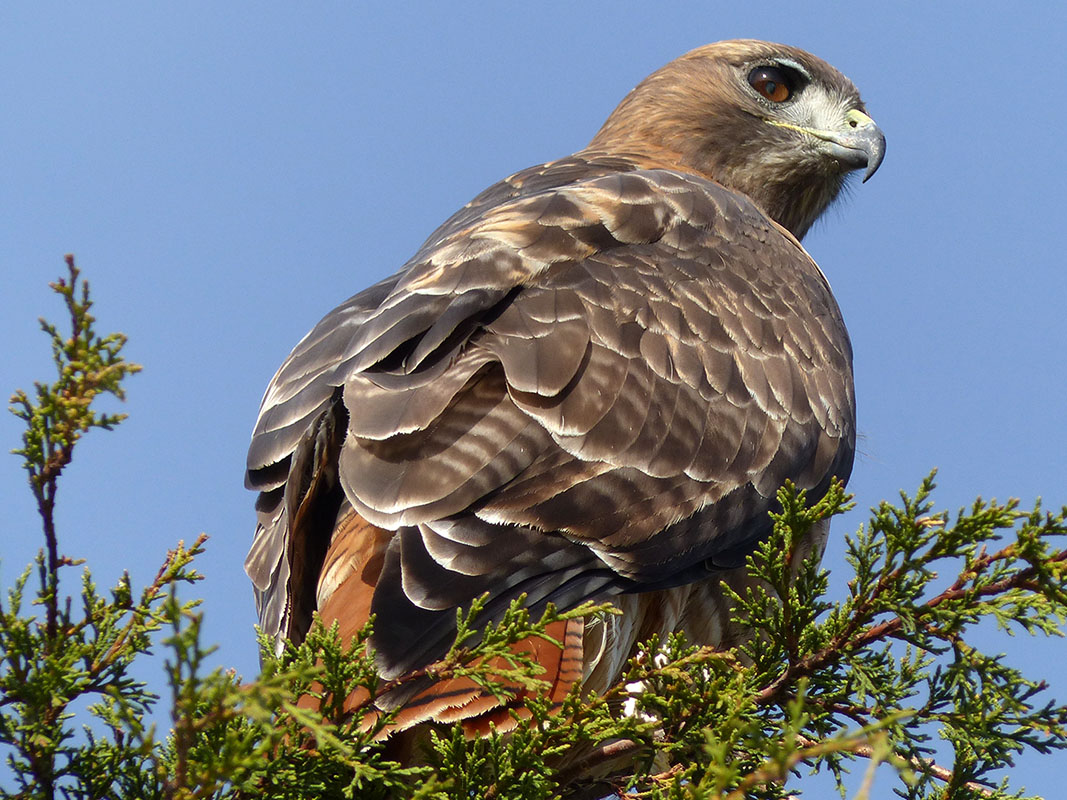
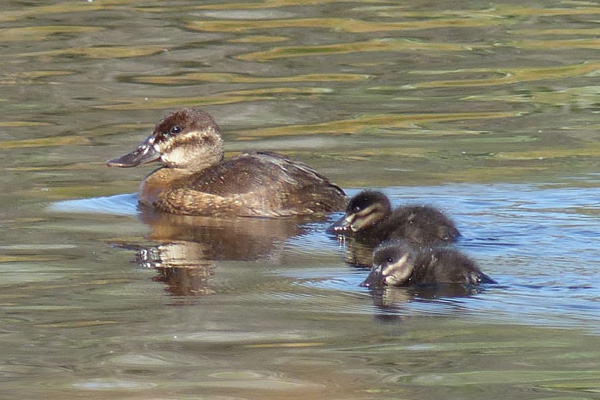
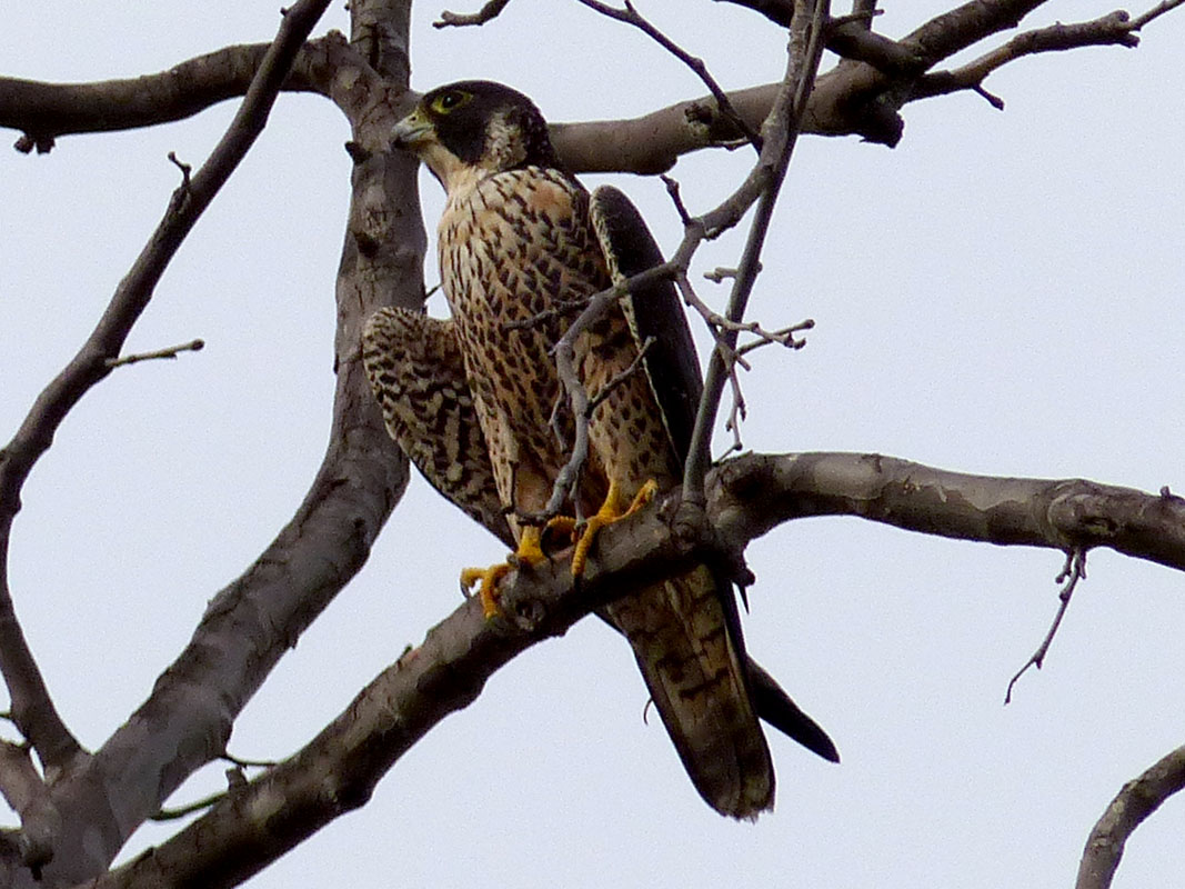
There are at least four water birds that breed at Lake Los Carneros. Look for families of Mallard Ducks, Ruddy Ducks, American Coots and Pied-billed Grebes in the early Summer. Summer through Winter is feeding time for fish-eating birds. Look for other fish hunters in addition to the egrets and herons which are regularly seen at the lake. By this time the baby fish from the spawn in the Spring have grown to a perfect size for kingfishers, cormorants & bitterns. Of course, these fish-eating birds rely on a healthy fish population which can be negatively effected by eutrophication during periods of drought and falling water levels.
May 22, 2018
Jul 6, 2000
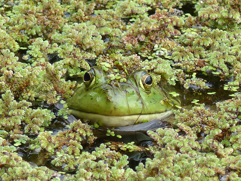
The water level at the lake will vary depending on rainfall. The changing water level brings changes that are not only seasonal. Low water levels also expose new, muddy beaches that attract varieties of birds that feed along the shoreline. High water years are a great time to spot bullfrogs hiding in the duckweed.
Jun 9, 2024
Jan 26, 2014
In 1985, after two years of visiting Lake Los Carneros I discovered a large number of dead fish floating around the shoreline of the lake. I was devastated and thought maybe the rumors of it being a "polluted mud hole" were true. Of course, that is not the case. Lake Los Carneros is eutrophic which basically means it receives nutrients from urban run-off that can lead to increased algae growth.
Apr 26, 2005
Oct 25, 2015
What factors lead to a fish kill at Lake Los Carneros? The simple answer is low oxygen levels caused by an algal bloom usually following periods of below average rainfall. Like an aquarium the lake needs a water change every so often. Tap here for more information.
Apr 25, 2000
Aug 16, 2025
Leave No Trace and Fish Responsibly:
If you visit or fish at the lake please be courteous to other visitors, do not disturb the birds or other wildlife, and leave the property in the same or in a better condition than you found it. Clean up all of your trash and any other litter you find. Especially items such as plastic bags, kite string, fishing line, 6-pack rings, etc.
Tap here to report trash and lost fishing gear that is not accessible from shore.
Thank you for helping keep Lake Los Carneros beautiful.
There is a new community group for Lake Los Carneros Park. The current working
name is "Friends of Lake Los Carneros".
I would like to see the Friends of Lake Los Carneros become a group that supports and promotes the preservation and stewardship of Lake Los Carneros Park.
Tap here for more information
Additional Links:
Sundays at the Ranch & Camp Stow
City of Goleta: Lake Los Carneros
The Joy of Float Tubing With Kids - Paul Rockwell
Expore Santa Barbara County: Lake Los Carneros Park
Santa Barbara Independent: A Great Place for a Quiet Walk
Sources and other information:
Master Plan - Santa Barbara County Parks Department (1987)
Updated Management Plan - Santa Barbara County Parks Department (1999)
The Distribution of Duckweed in a Small Southern California Lake: An
Experimental Approach (1970)
C. L. McLay, Department of Biological Science - University of California, Santa
Barbara, CA 93106 (large .pdf file - 11,179 kb)
Dams Within the Jurisdiction of the State of California (2010)*
Dams Within Jurisdiction of the State of California (1962)*
Dams Within Jurisdiction of the State of California (2022)
Ancestors West - December 1990 - Page 117
Hydrology and Water Quality - Background Report No. 24 - Draft 4 (May 2004)* - Can not find updated link.
*Broken Link
[Water Levels]
[The Dam] [Fishing]
[Birding]
[Wildlife]
[Eutrophication]
[Photo Album]
[Map]
Questions/Comments: pete@lakeloscarneros.com